
Records Research
Compare deed, plat, easements and prior survey information before field work.
Land Surveying · Dallas–Fort Worth
Surveying support for property planning, design coordination, and construction layout.
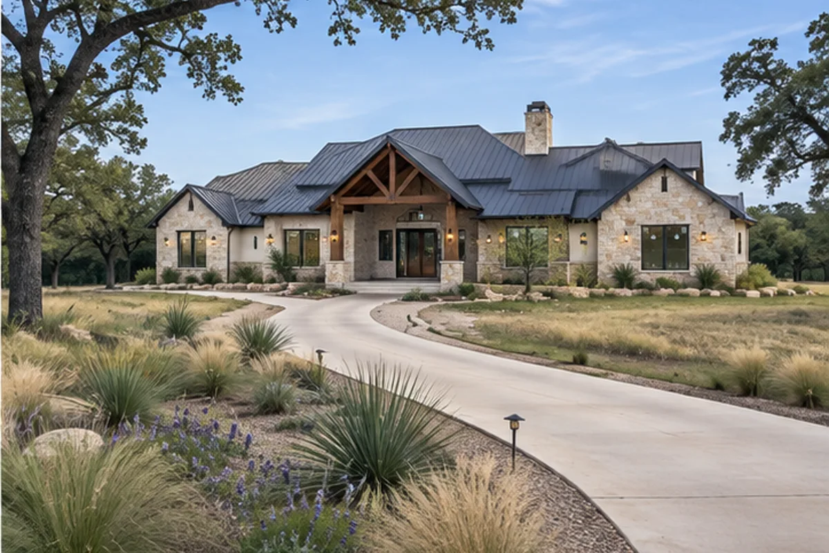
What We Can Help With
Define the work your property needs, whether it is part of a complete build or a focused improvement.
Surveying support for property planning, design coordination, and construction layout. Early coordination with related trades helps clarify sequencing, access, and finish requirements before work begins.
For a useful land surveying discussion, share: Property address or parcel information, any existing survey, and the purpose of the work.
Answers To Help You Plan
The boundary survey addresses property lines and recorded interests; topographic work describes elevations and physical features needed for grading and drainage. A new build may need both. Explain the next design decision so the survey scope captures the features, elevations and deliverables the team will actually use.
Do not assume that a fence or occupied edge matches the recorded boundary. The surveyor compares deeds, plats, easements, monuments and visible occupation. Differences should be documented for the appropriate property professionals to resolve before a building, driveway or retaining wall is positioned against that edge.
The deliverable should state its datum, units and benchmark description, with control the field can reproduce. Civil, architectural and structural plans must use compatible references. Clarify the relationship between survey elevations and finished-floor elevations before staking so crews do not interpret separate reference systems as interchangeable.
Plan the check before the concrete placement becomes the next unavoidable activity. Compare the forms or foundation layout with the approved site plan, setbacks and required elevations. Resolve discrepancies while adjustments remain possible, and retain the survey deliverable with the project’s pre-pour records.
Visible utility features and available records do not establish every concealed route or depth. Coordinate the survey with utility locating and project-specific investigation before excavation or foundation design relies on it. Mark which information was observed, supplied by records or remains unverified in the working documents.
Assign that responsibility before grading and utility crews mobilize. Keep benchmarks and offset stakes clear of stockpiles and equipment routes, and identify which marks crews must preserve. If control is disturbed, obtain verified restaking rather than reconstructing building corners from memory or an adjacent temporary mark.
Licensed · Bonded · $5M Insured
Bring plans, a property address, or simply an idea. We’ll help you understand the next step.
Professional protection for residential and commercial work. No finished plans required.North Texas Field Note
Boundary, easement, topography, improvements and construction layout answer different questions; order the survey product that fits the next decision.
Technical Execution Guide
Boundary, topographic and construction-layout services serve different decisions.
Compare deed, plat, easements and prior survey information before field work.
Locate monuments and establish reliable horizontal and vertical control.
Capture boundaries, improvements, utilities, contours, trees and encroachments required by scope.
Lay out building corners, offsets, grades, utilities and improvements from approved plans.
Provide form, foundation or as-built checks required by the contract or jurisdiction.
Detailed Field Guide
Surveying establishes the legal and physical reference for design and construction. Boundary, topographic, tree, utility, form, staking and as-built services answer different questions and should be scoped by the next decision.
Start With Existing Conditions
Research deeds, plats, recorded easements and prior surveys, then recover monuments and compare occupation lines, fences and improvements. Topographic work should use a stated datum and capture features at a density appropriate for grading and drainage design.
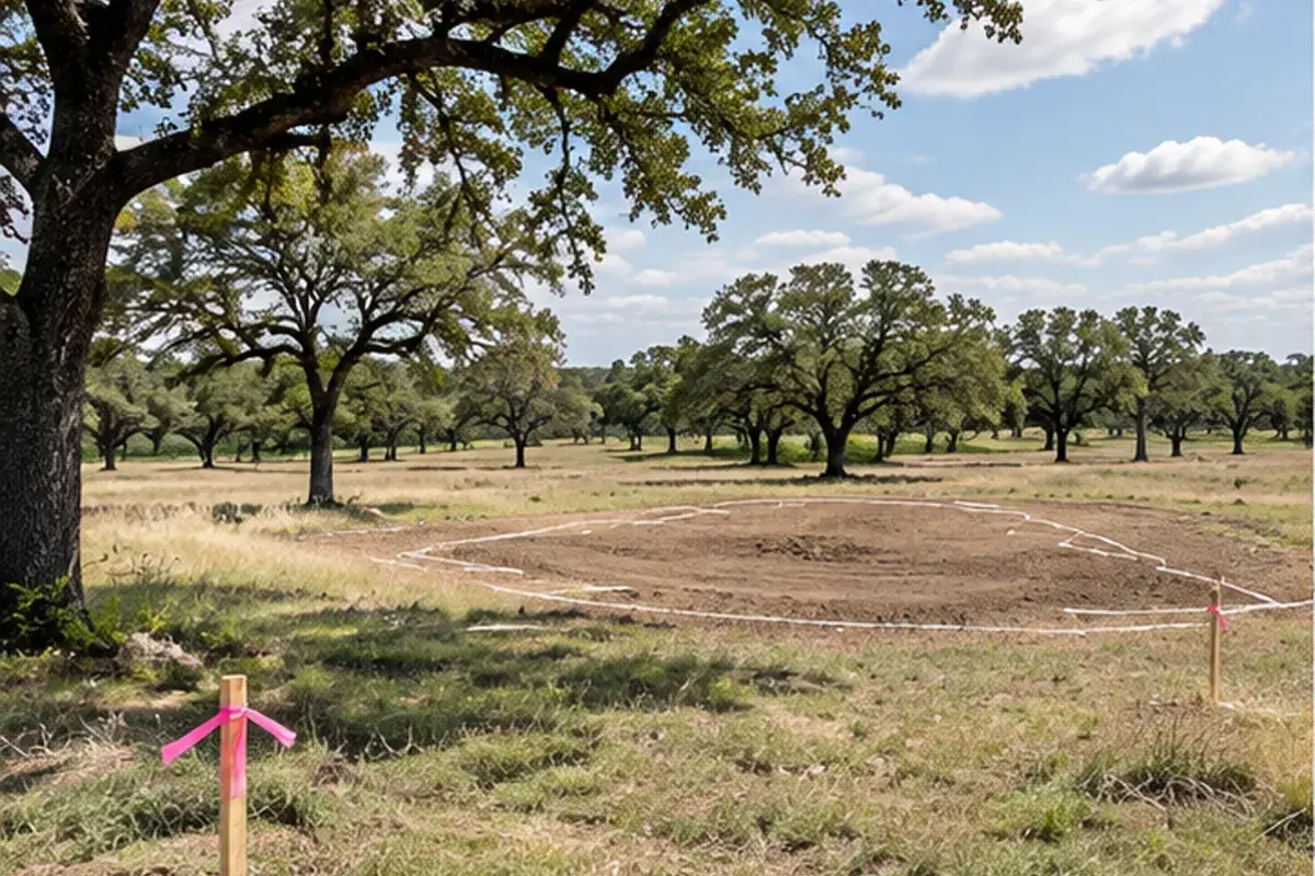
Define The Complete Assembly
Deliverables may include boundary lines, contours, spot elevations, structures, paving, visible utilities, trees, flood information, easements and certification language. Construction control requires durable benchmarks, offsets and coordinate information the field can reproduce.
Coordinate The Adjacent Trades
Survey coordinates must match civil, architectural and structural drawings. Utility locators, geotechnical borings, tree inventory, proposed grades and building corners all depend on shared control. Clarify who protects stakes and requests restaking after disturbance.
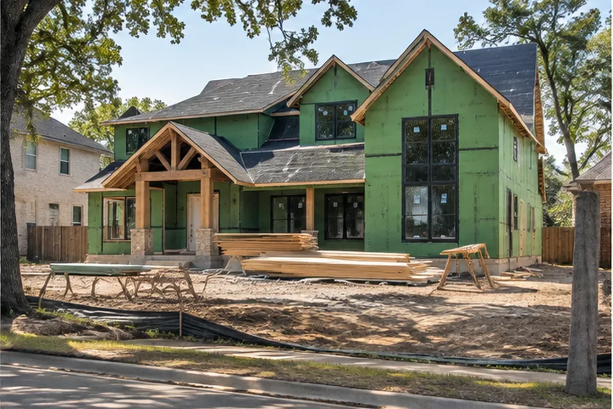
Sequence The Work
Confirm the purpose of the survey and available records before field work. Establish control, measure the required property and site features, and reconcile findings in the survey deliverable. Coordinate design questions before construction staking; protect reference points and verify layout before excavation or concrete placement.
Quality-Control Hold Points
Check closure, monument calls, datum, benchmark description, north orientation, units and match lines. Before concrete, compare form or foundation location and elevation to approved setbacks and site plan. Preserve signed/sealed deliverables and field records.
Cost Drivers And Allowances
Price depends on parcel size, record complexity, vegetation, access, required features, elevation density, certifications and return trips. Allow separately for construction staking, lender or title requirements, easement documents and as-builts.
Schedule And Procurement
Field time can be short while records research, title issues, weather and deliverable review take longer. Order boundary and topographic information before design starts and schedule form checks before the pour becomes the critical path.